Overview
If your current Garmin chartplotter or marine handheld is not compatible with the newer Garmin Navionics+™ mapping format, you can still enjoy our previous-generation BlueChart g3 coastal charts and LakeVü g3 inland maps for reliable navigation and fun times on the water. Check chartplotter compatibility.
Premier Coastal Charts
- Industry-leading coverage, clarity and detail with updated coastal charts that feature integrated Garmin and Navionics® content
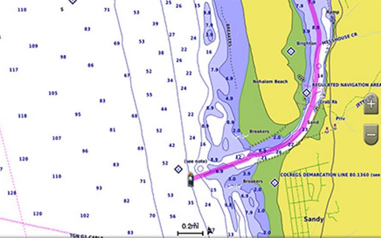
- Auto Guidance¹ technology quickly calculates a suggested route by using your desired depth and overhead clearance
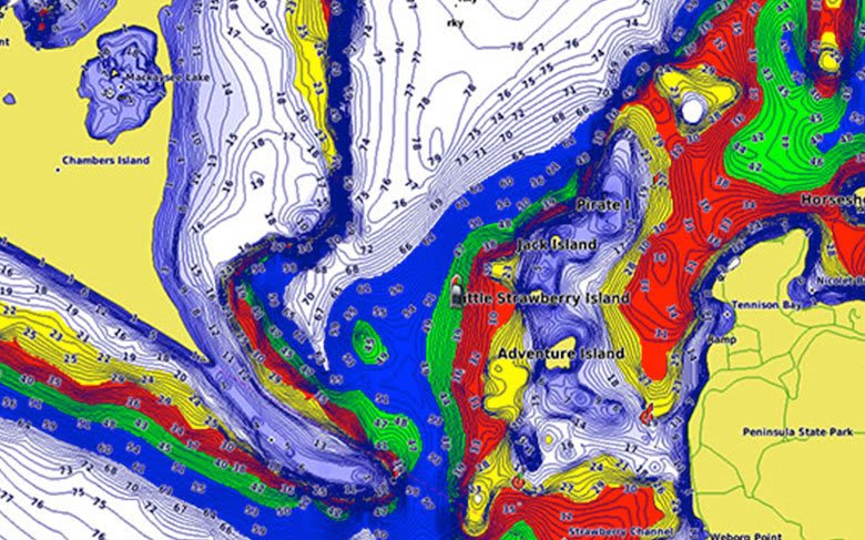
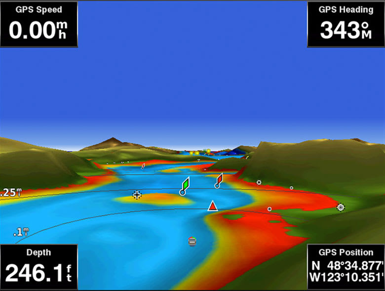
- Includes Depth Range Shading for up to 10 depth ranges, enabling you to view your target depth at a glance
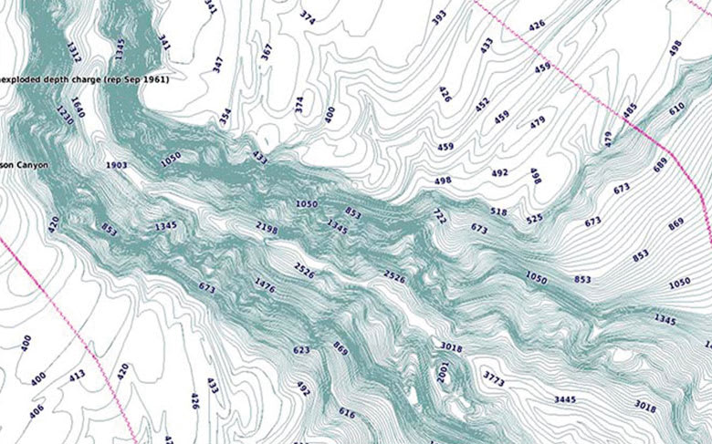
- Up to 1’ contours provide a more accurate depiction of the bottom structure for improved fishing charts
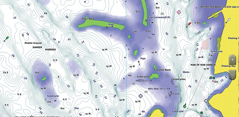
- To give a clear picture of shallow waters to avoid, the Shallow Water Shading allows for shading at a user-defined depth
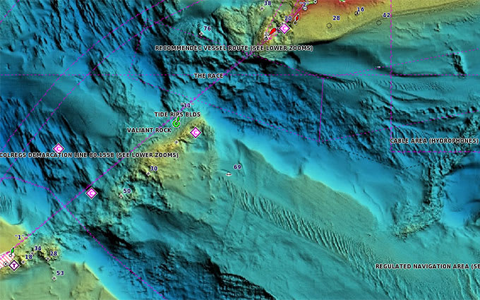
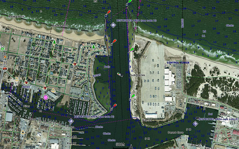
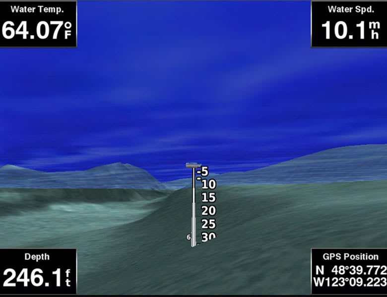
Experience unparalleled coverage and brilliant detail when you’re on the water. BlueChart g3 Vision coastal charts provide industry-leading coverage, clarity and detail with integrated Garmin and Navionics content.
Coverage

Detailed coverage of the northern coast of Alaska from Point Hope to the United States/Canadian border including Point Barrow, Kaktovik, and Peard Bay.