Overview
If your current Garmin chartplotter or marine handheld is not compatible with the newer Garmin Navionics+ mapping format, BlueChart g3 Vision coastal charts deliver previous-generation premium cartography with integrated Garmin and Navionics content. Check chartplotter compatibility.
The BlueChart g3 Vision VUS029R covers the southern Bahamas and northern Caribbean from Eleuthera Island to the Dominican Republic, including Great Exuma, Great Inagua, Mayaguana, the Jamaican coast, the Haitian coast, the Dominican coast, the easternmost quarter of Cuba, and the Turks and Caicos Islands. Bahamas coverage features data from Explorer Charts. The chart card integrates Auto Guidance technology, high-resolution relief shading, 1-foot contours, satellite imagery, 3D views, and depth shading tools into one microSD/SD package for compatible Garmin chartplotters.
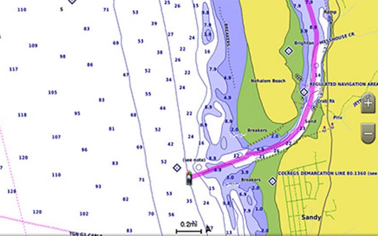
BlueChart g3 Vision coastal charts provide coverage, clarity, and detail with integrated Garmin and Navionics data and Auto Guidance technology. The VUS029R chart card combines multiple data layers, including vector cartography, high-resolution bathymetry, satellite photography, and 3D perspective views, into a single navigational package designed for the southern Bahamas and Greater Antilles.
The VUS029R covers one of the most varied cruising regions in the Western Hemisphere. The Exuma Cays and southern Bahamas demand precise navigation through shallow banks, coral reef passages, and the narrow cuts between islands. Crossings of the Old Bahama Channel and the Windward Passage connect the Bahamas chain to Cuba, Jamaica, and Hispaniola. The Turks and Caicos Islands, often the first landfall on southbound passages from Florida and the Bahamas, sit on the eastern edge of the coverage area. Bahamas coverage features data from Explorer Charts, a recognized source among Bahamas cruisers, integrated directly into the BlueChart g3 Vision format.
Coverage
Note: The areas outlined in color depict the approximate coverage areas of the relief shading data included in the Vision card.
Featuring data from Explorer Charts for the Bahamas. Eleuthera Island, Bahamas to the Dominican Republic, including the Bahamian islands of Great Exuma, Great Inagua, Mayaguana, and many others. Also includes detailed coverage of the Jamaican, Haitian, and Dominican coasts in their entirety, the easternmost quarter of Cuba, and the Turks and Caicos Islands.
Features
Auto Guidance
Whether fishing or cruising, select a spot and get a route showing the general path and nearby obstructions at a safe depth. Auto Guidance technology uses the desired depth and overhead clearance to calculate a route and suggest a path to follow.
Auto Guidance is for planning purposes only and does not replace safe navigation practices.
High-Resolution Relief Shading
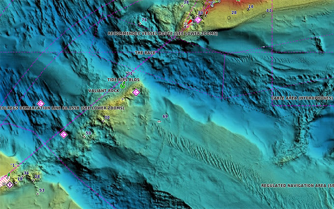
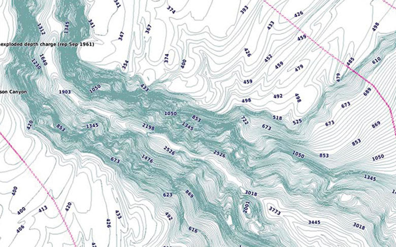
High-resolution relief shading combines color and shadow to give an easy-to-interpret view of bottom profile, making it easier to find artificial reefs, underwater shelves, and more. High-resolution relief shading is also available as a free downloadable feature via the ActiveCaptain app.
Depth Range Shading
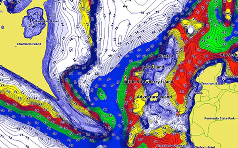
Depth Range Shading displays up to 10 depth ranges, enabling the view of a designated target depth at a glance.
Shallow Water Shading
Shallow Water Shading allows for shading at a user-defined depth, giving a clear picture of shallow waters to avoid.
Detailed Contours
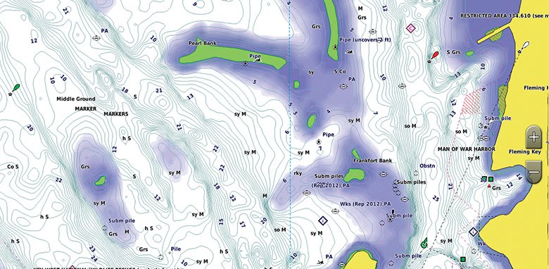
BlueChart g3 Vision charts feature 1-foot contours that provide a more accurate depiction of bottom structure for improved fishing charts and enhanced detail in swamps, canals, and port plans.
High-Resolution Satellite Imagery
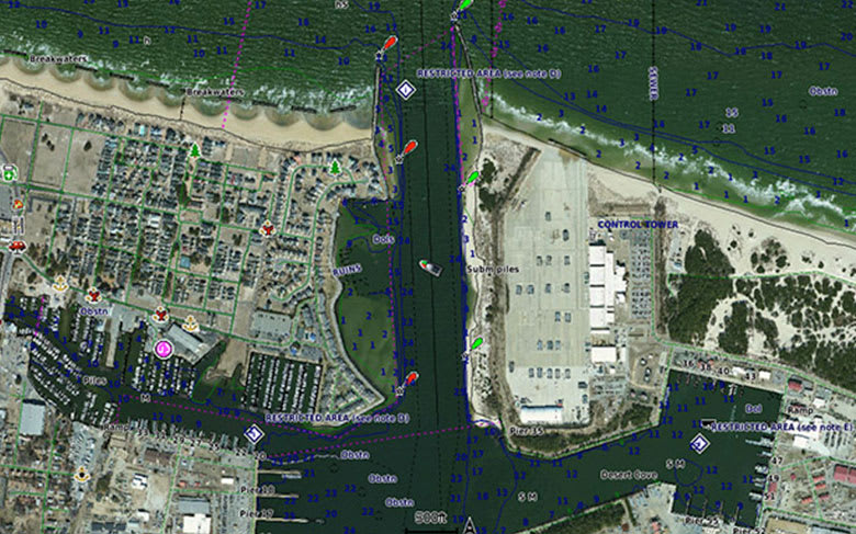
High-resolution satellite imagery with navigational charts overlaid gives a realistic view of the surroundings, the most realistic charting display in a chartplotter, ideal for entering unfamiliar harbors or ports.
FishEye View
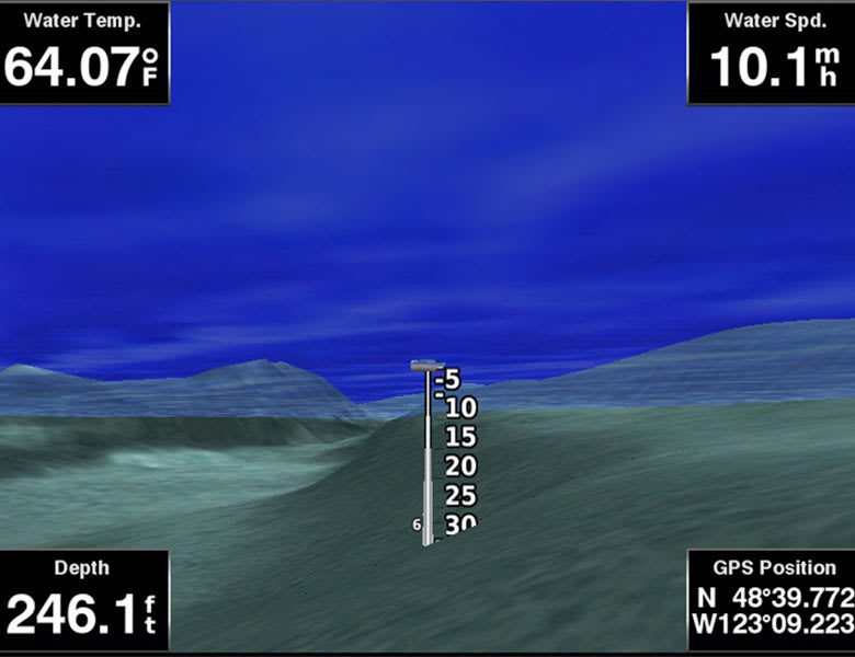
An underwater perspective showing a 3D representation of the bottom and contours as seen from below the waterline. Interface with sonar data for a customized view.
MarinerEye View
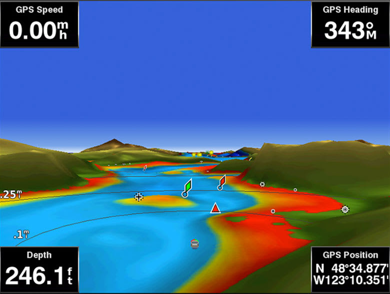
A 3D representation of the surrounding area both above and below the waterline.
Auto Guidance is for planning purposes only and does not replace safe navigation practices. Engineering enhancements are ongoing and may not be reflected in the pictures, videos and specifications.
Requirements
microSD/SD Card Requirements
BlueChart g3 Vision charts are delivered on a microSD/SD card preloaded with chart data. Garmin microSD/SD data cards are intended solely for use with compatible Garmin devices and are preformatted specifically for that purpose. Cards must not be reformatted, and the data on the card must not be modified, copied, or transferred to any other card or device. Each card is licensed for use on a single device at a time. For full microSD/SD card requirements and limitations, refer to the Garmin legal page.
FAQs
Q1. What area does the BlueChart g3 Vision VUS029R cover?
The VUS029R provides chart coverage from Eleuthera Island, Bahamas to the Dominican Republic, including the Bahamian islands of Great Exuma, Great Inagua, and Mayaguana. The card also covers the Jamaican, Haitian, and Dominican coasts in their entirety, the easternmost quarter of Cuba, and the Turks and Caicos Islands.
Q2. Does the VUS029R include Bahamas chart data from Explorer Charts?
The VUS029R features Bahamas coverage sourced from Explorer Charts, providing detailed data for the southern Bahamas chain including Eleuthera, the Exumas, Great Inagua, and Mayaguana. Explorer Charts data is integrated directly into the BlueChart g3 Vision format alongside Garmin and Navionics content.
Q3. What is the difference between BlueChart g3 Vision and BlueChart g3?
Both tiers include integrated Garmin and Navionics content, Auto Guidance, 1-foot contours, Depth Range Shading, and Shallow Water Shading. BlueChart g3 Vision adds high-resolution relief shading, high-resolution satellite imagery, and 3D views (FishEye and MarinerEye).
Q4. Which Garmin chartplotters are compatible with BlueChart g3 Vision?
Compatible devices include the GPSMAP 7x2, 9x2, 10x2, 12x2 series, GPSMAP 7400/7600, GPSMAP 8400xsv/8600xsv, GPSMAP 85x0/8700, ECHOMAP Plus series, and ECHOMAP UHD series. Newer chartplotters with built-in Garmin Navionics+ mapping require Garmin Navionics+ or Garmin Navionics Vision+ charts instead. Contact ANS for help identifying the correct chart format for your device.
Q5. Does Auto Guidance replace traditional navigation practices?
Auto Guidance is a planning tool that calculates suggested routes based on charted depth and overhead clearance parameters. Auto Guidance does not replace safe navigation practices, and mariners remain responsible for maintaining a proper lookout, monitoring real-time conditions, and exercising professional judgment.
Q6. Can multiple BlueChart g3 Vision cards be used at the same time?
Multiple BlueChart g3 Vision chart cards can be installed in the same Garmin chartplotter, provided the device has available card slots. Coverage transitions between adjacent regional cards are handled automatically within the chart display.