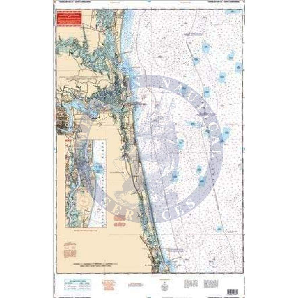
Coverage of the offshore waters from Charleston Light out to a minimum of 87 miles to Cape Canaveral on one side. Coastal coverage from Fernandina Beach south past the St. Johns River entrance to the St. Augustine Inlet on the reverse side. A detail of the St. Augustine area on the coastal side. This is the perfect offshore navigation map for boaters, divers, and fishermen. Coverage of the offshore waters runs from Charleston Light out to a minimum of 87 miles to Cape Canaveral on one side. Coastal coverage from Fernandina Beach south past the St. Johns River entrance to the St. Augustine Inlet on the reverse side. A detail of the St. Augustine area on the coastal side. The vibrant colors make it easy to decipher water depths. If you boat this area often, you will want to frame this navigation chart and display it proudly on your home or office wall. Information from 3 NOAA charts: #11488, #11485 and #11480. Nautical Chart is 25″ X 38″. WGS84 – World Mercator Datum.