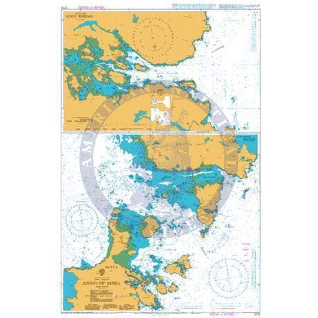
British Admiralty Nautical Chart 2770: Scotland - West Coast - Outer Hebrides, Sound of Barra. South Uist - Loch Boisdale

Precio
$67.95
Media:Paper
Media Paper
SKU BA2770
Publisher United Kingdom Hydrographic Office
UPC 8.52687E+11
Retiro disponible en 3311 S. Andrews Ave.

Normalmente estĆ” listo en 24 horas

Ver información de la tienda

Chart Details

British Admiralty Nautical Chart 2770: Scotland - West Coast - Outer Hebrides, Sound of Barra. South Uist - Loch Boisdale is a standard nautical chart. This nautical chart complies with Safety of Life at Sea (SOLAS) regulations and is ideal for professional, commercial and recreational use. Charts within the series consist of a range of scales, useful for passage planning, ocean crossings, coastal navigation and entering port. Mariners should always use the largest scale nautical chart appropriate to their needs. In particularly busy seaways such as the English Channel, Gulf of Suez and the Malacca and Singapore Straits, the standard nautical charts are supplemented by mariners' routeing guides which provide advice on route planning in these complex areas. Admiralty nautical charts are corrected to the latest notice to mariners (NTM) by our trained cartographer at the point of sale. It is the mariner's responsibility to maintain and correct the chart onwards to be in compliance with SOLAS regulations and to ensure safe navigation.

Chart Panel Details

  • Panel NameĀ Sound of Barra
  • Natural ScaleĀ 30000
  • North LimitĀ 57ļæ½ 08'.00N
  • East LimitĀ 7ļæ½ 12'.62W
  • South LimitĀ 56ļæ½ 58'.00N
  • West LimitĀ 7ļæ½ 31'.86W
  • Panel NameĀ Loch Boisdale
  • Area NameĀ South Uist
  • Natural ScaleĀ 12500
  • North LimitĀ 57ļæ½ 10'.00N
  • East LimitĀ 7ļæ½ 12'.70W
  • South LimitĀ 57ļæ½ 07'.48N
  • West LimitĀ 7ļæ½ 20'.76W

Chart Details

British Admiralty Nautical Chart 2770: Scotland - West Coast - Outer Hebrides, Sound of Barra. South Uist - Loch Boisdale is a standard nautical chart. This nautical chart complies with Safety of Life at Sea (SOLAS) regulations and is ideal for professional, commercial and recreational use. Charts within the series consist of a range of scales, useful for passage planning, ocean crossings, coastal navigation and entering port. Mariners should always use the largest scale nautical chart appropriate to their needs. In particularly busy seaways such as the English Channel, Gulf of Suez and the Malacca and Singapore Straits, the standard nautical charts are supplemented by mariners' routeing guides which provide advice on route planning in these complex areas. Admiralty nautical charts are corrected to the latest notice to mariners (NTM) by our trained cartographer at the point of sale. It is the mariner's responsibility to maintain and correct the chart onwards to be in compliance with SOLAS regulations and to ensure safe navigation.

Chart Panel Details

  • Panel NameĀ Sound of Barra
  • Natural ScaleĀ 30000
  • North LimitĀ 57ļæ½ 08'.00N
  • East LimitĀ 7ļæ½ 12'.62W
  • South LimitĀ 56ļæ½ 58'.00N
  • West LimitĀ 7ļæ½ 31'.86W
  • Panel NameĀ Loch Boisdale
  • Area NameĀ South Uist
  • Natural ScaleĀ 12500
  • North LimitĀ 57ļæ½ 10'.00N
  • East LimitĀ 7ļæ½ 12'.70W
  • South LimitĀ 57ļæ½ 07'.48N
  • West LimitĀ 7ļæ½ 20'.76W