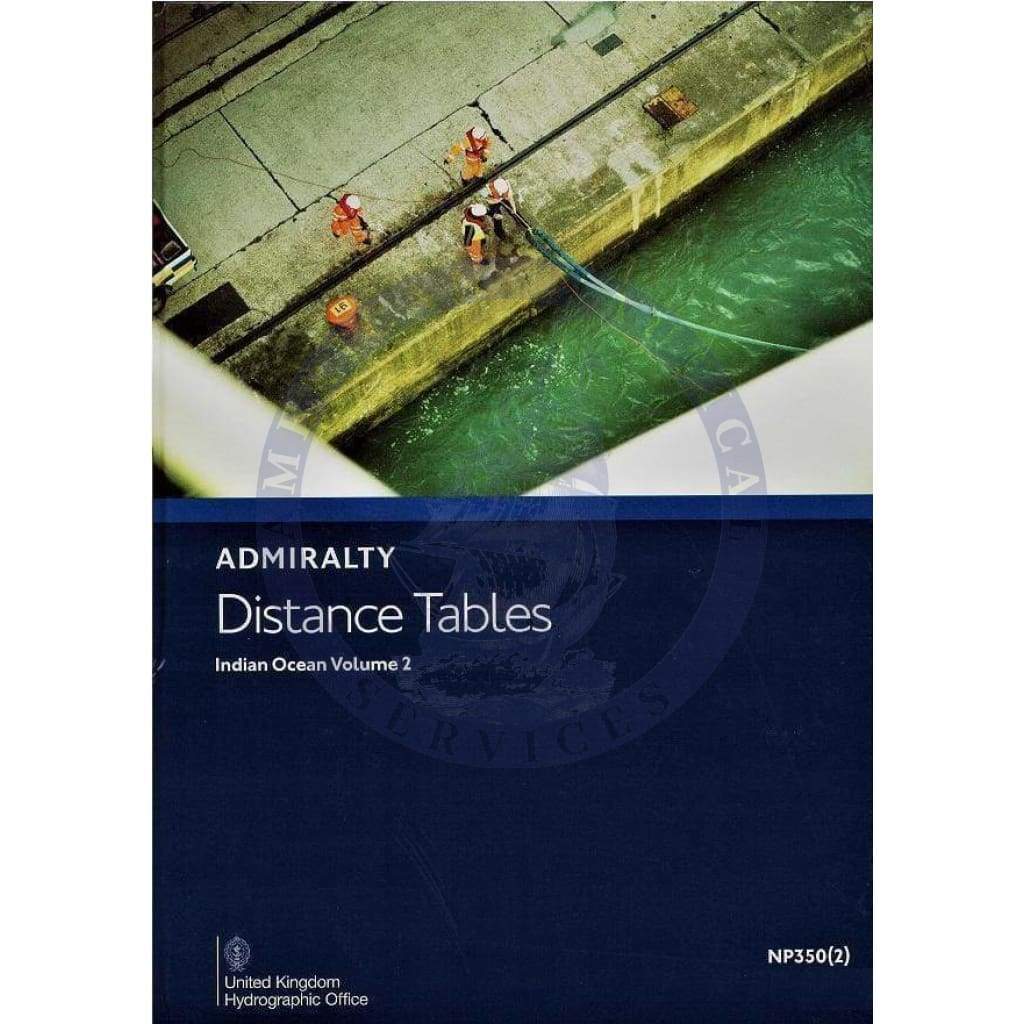
Discover the essential resource for maritime navigation with the Admiralty Distance Tables: Indian Ocean Volume 2 (NP350-2), 3rd Edition, published by the United Kingdom Hydrographic Office. This publication is an integral part of the British Admiralty Distance Tables series, encompassing critical data for seafarers navigating the Indian Ocean and portions of the Southern Ocean, from South Africa to New Zealand, as well as regions including the Red Sea, Persian Gulf, and the Malay Archipelago.
The Admiralty Distance Tables are designed for easy access to the shortest distances between major ports, making them an invaluable tool for navigation. This particular volume is in continuous revision, ensuring that users have access to the most current and accurate information available.
Features of the Admiralty Distance Tables
- Comprehensive coverage of vital maritime routes in the Indian Ocean and surrounding regions.
- Includes supporting diagrams and textual information to enhance understanding and usability.
The Admiralty Distance Tables are categorized into three parts, segmented by region, and are tailored to help mariners find not only distances between ports but also provides link tables for areas not contained within the adjacent tables. This feature significantly aids in planning maritime voyages.

Professional navigators and maritime enthusiasts alike will find this volume invaluable for both planning and executing safe, efficient voyages in the vast Indian Ocean area. Stay ahead in your maritime journeys with the updated and meticulously revised Admiralty Distance Tables.


