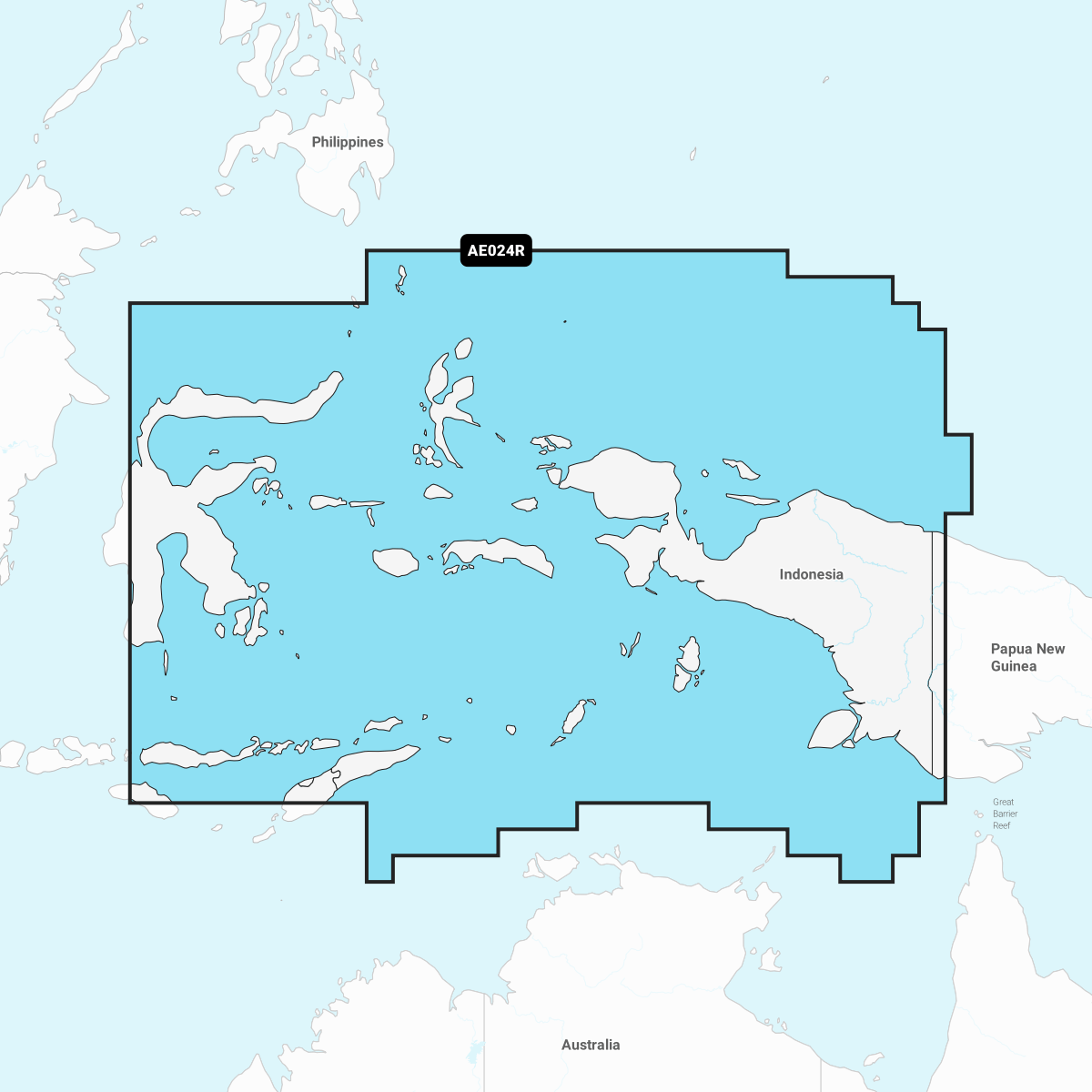
Experience the ultimate in marine navigation with the Navionics Platinum+ Chart AE024R: Central W. Papua & E. Sulawesi. This premium marine cartography solution is designed for avid sailors and anglers looking for accuracy, detail, and enhanced navigational features. With high-definition contours of up to 1' (0.5 meters), you'll have a comprehensive view of the underwater landscape, ensuring you never miss a detail.
Equipped with cutting-edge mapping technology, the Navionics Platinum+ Chart provides access to integrated Garmin and Navionics content, ensuring you receive exceptional coverage and clarity in familiar formats. The advanced features of this chart allow you to navigate both inland and offshore waters with confidence.
-
Real-Time Mapping: Create your own personal 1’ HD bathymetry maps as you navigate, thanks to SonarChart Live mapping technology. This feature allows you to visualize changes in the underwater terrain in real-time on your chartplotter's display.
-
Dock-to-Dock Route Guidance: Simplify your journey with advanced route guidance that calculates an optimal path based on your boat settings—the perfect companion whether you're entering busy marinas or exploring calm inlets.
Embrace the power of community with the Community Edits feature, which provides local information shared by fellow boaters. This invaluable addition ensures you're always informed about the best spots and potential hazards in the waters you navigate.
On top of all this, enjoy daily updates via the Navionics Chart Installer software or wirelessly through the Plotter Sync feature. This ensures your charts remain the most up-to-date every time you hit the water.
Furthermore, the immersive relief shading and overlay of satellite imagery deliver a more intuitive understanding of your surroundings, making it easier than ever to enter unfamiliar waters. Elevate your marine experience with the Navionics Platinum+ Chart AE024R: Central W. Papua & E. Sulawesi—your essential guide to safe and enjoyable adventures on the water.