Garmin Bluechart G3 Vision microSD™/SD™ card (VUS033R): U.S., Bristol Bay to Kotzebue Sound Coastal Charts

Precio
$349.95
media:microSD™/SD™ card format
media microSD™/SD™ card format
SKU 010-C0734-00
Publisher Garmin
Retiro disponible en 3311 S. Andrews Ave.

Normalmente está listo en 24 horas

Ver información de la tienda

Overview

If your current Garmin chartplotter or marine handheld is not compatible with the newer Garmin Navionics+™ mapping format, you can still enjoy our previous-generation BlueChart g3 coastal charts and LakeVü g3 inland maps for reliable navigation and fun times on the water. Check chartplotter compatibility.

Premier Coastal Charts

  • Industry-leading coverage, clarity and detail with updated coastal charts that feature integrated Garmin and Navionics® content
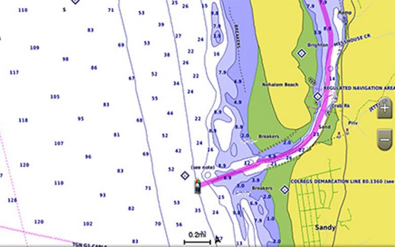
  • Auto Guidance¹ technology quickly calculates a suggested route by using your desired depth and overhead clearance
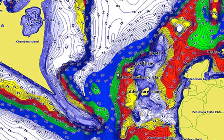
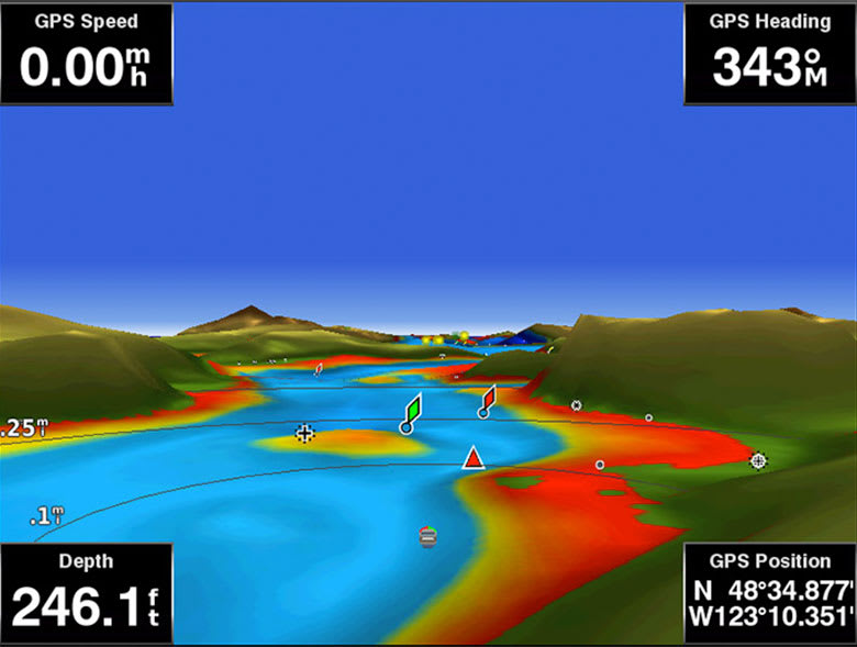
  • Includes Depth Range Shading for up to 10 depth ranges, enabling you to view your target depth at a glance
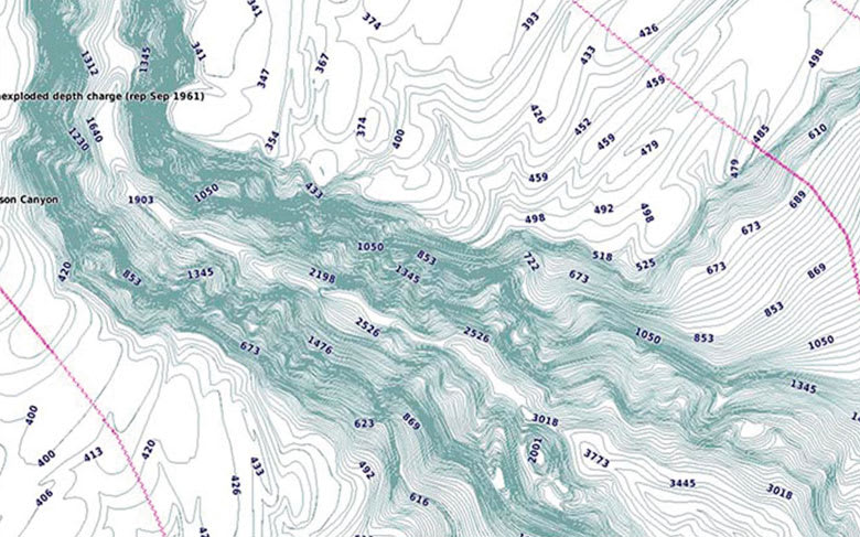
  • Up to 1’ contours provide a more accurate depiction of the bottom structure for improved fishing charts
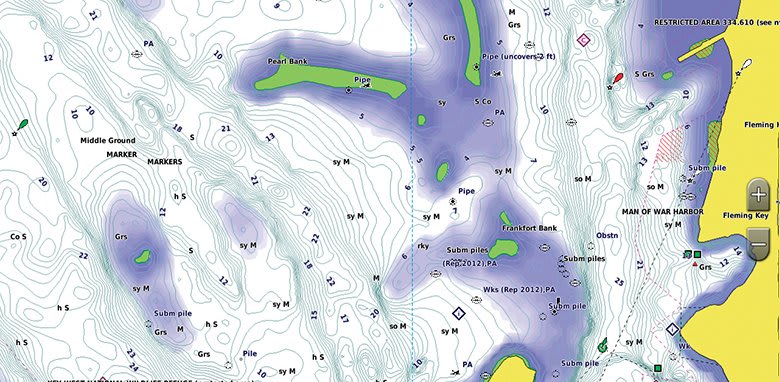
  • To give a clear picture of shallow waters to avoid, the Shallow Water Shading allows for shading at a user-defined depth

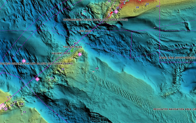
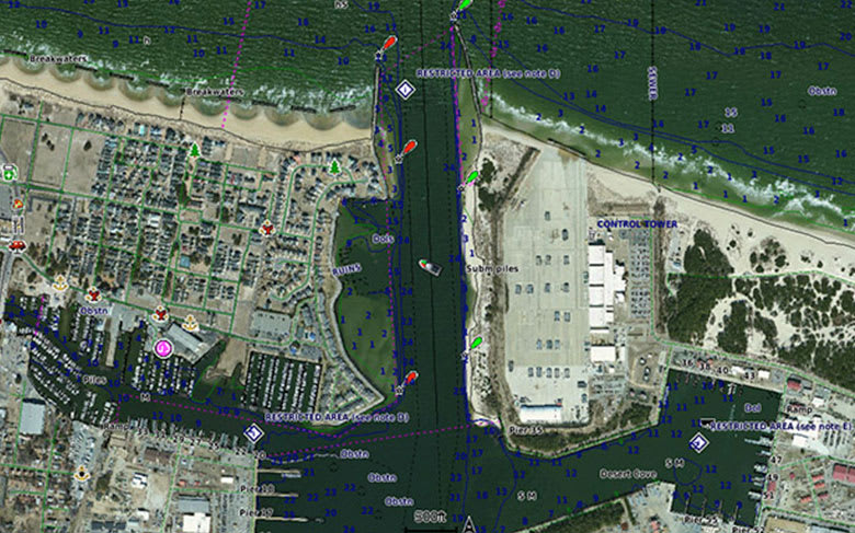
Experience unparalleled coverage and brilliant detail when you’re on the water. BlueChart g3 Vision coastal charts provide industry-leading coverage, clarity and detail with integrated Garmin and Navionics content.

Coverage

Covers Bristol Bay and the Alaska Peninsula from Sutwik Island to Kotzebue Sound, including Dillingham, Kvichak Bay, Port Moller, Chignik Bay, and Norton Sound. Also covers the Aleutian Islands from Unalaska Island to Unimak Island, including Akutan and Unimak Pass.