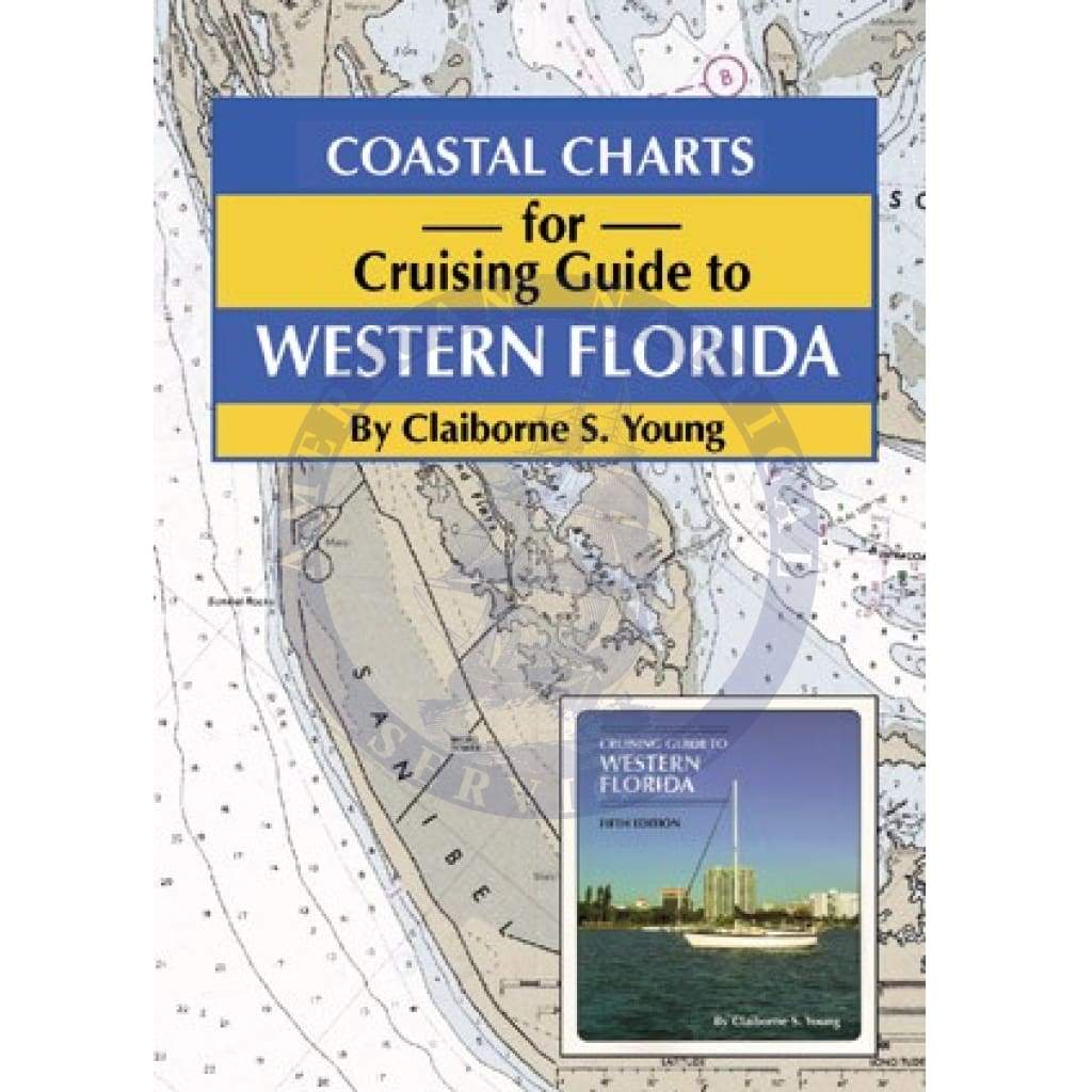
Coastal Charts For Cruising Guide To Western Florida

Precio de venta
$64.95
Precio habitual
$74.95
SKU 9781565541542
Publisher Pelican Publishing
ISBN 9781565541542
Retiro disponible en 3311 S. Andrews Ave.

Normalmente está listo en 24 horas

Ver información de la tienda

Based on the National Oceanic and Atmospheric Administration charts, this companion to the Cruising Guide to Western Florida contains color navigational charts pertaining to the area. Not only does it give cruisers information on where to drop anchor, but also what to do once they abandon their sea legs. The charts indicate the nearest restaurants, accommodations, historic sites, anchorages, marinas, and fueling stations—even in strange ports of call.

Covering ports from Carabelle to Flamingo, the nautical maps feature every destination listed in the companion guidebook, Cruising Guide to Western Florida. With these two thorough references on hand, cruisers will be well informed in any circumstance.

Claiborne Young’s guides have become the gold standard of cruising guides. The author and his navigator wife, Karen, are avid, experienced boaters who have logged countless hours exploring coastal Florida to ensure the accuracy of their descriptions and recommendations. 79 pages of color charts.

Customer Reviews

No reviews yet
0%
(0)
0%
(0)
0%
(0)
0%
(0)
0%
(0)

Customer Reviews

No reviews yet
0%
(0)
0%
(0)
0%
(0)
0%
(0)
0%
(0)

You may also like