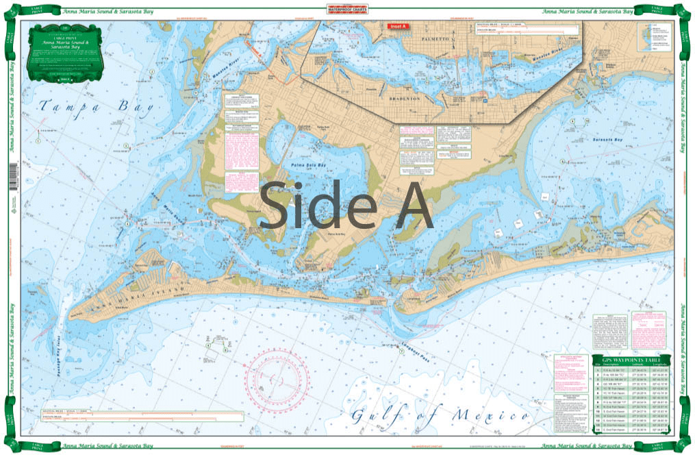
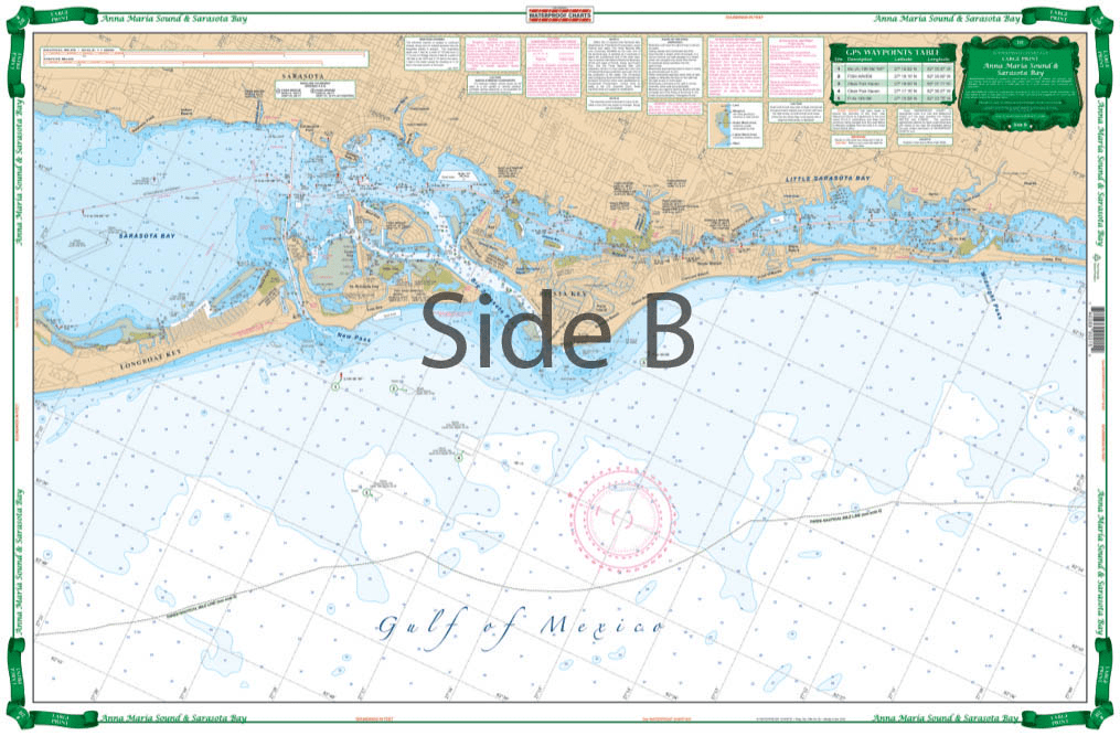
Very large blown up coverage from Anna Maria Island south to Little Sarasota Bays and up the Manatee River to Bradenton and Palmetto. Detail for Sarasota. Large Place names make areas easy to find. A total of 19 plotted and indexed GPS Waypoints make it easy to set up your electronics. Don’t go anywhere without this Anna Maria Sound and Sarasota Bays navigation chart! We use data compiled from 2 NOAA charts to give you a more comprehensive overview of this boating area. This nautical map has a very large blown up coverage from Anna Maria Island south to Little Sarasota Bays and up the Manatee River to Bradenton and Palmetto. Detail are also included for Sarasota. Large place names make areas easy to find, even when boating at high speeds! (Though we don’t recommend you read and drive). A total of 19 plotted and indexed GPS Waypoints make it easy to set up your electronics. Get a second copy of this navigation map. Why? Because you’ll love the vibrant colors so much you’ll get it framed and hung on your wall. Information from 2 NOAA Charts: #11425 and #11411. Nautical chart is 25″ X 38″. WGS84 – World Mercator Datum.
All received well and wish the hard copy come with digital .
The 2026-2027 Sailors Guide to the Windward Islands, 22nd Edition
I ordered a couple of training charts thinking I would get them after a couple of weeks… buy I received the 2 days later.Good heavy stock paper also. Thank you!
Purchased as a commemorative gift for our yacht club commodore.
What great service! I called on Sunday (when they are closed) and was helped by a gentleman who was in the office writing a report. Got the book on Friday via UPS.


