
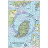
Double click image to zoom in


Click image to open expanded view

Usually ready in 24 hours
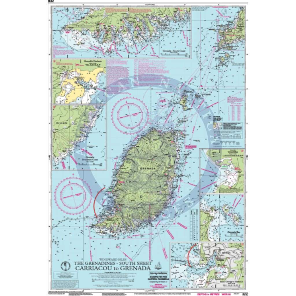
B32 Carriacou to Grenada
Scale: 1:90,000 WGS84
Imray
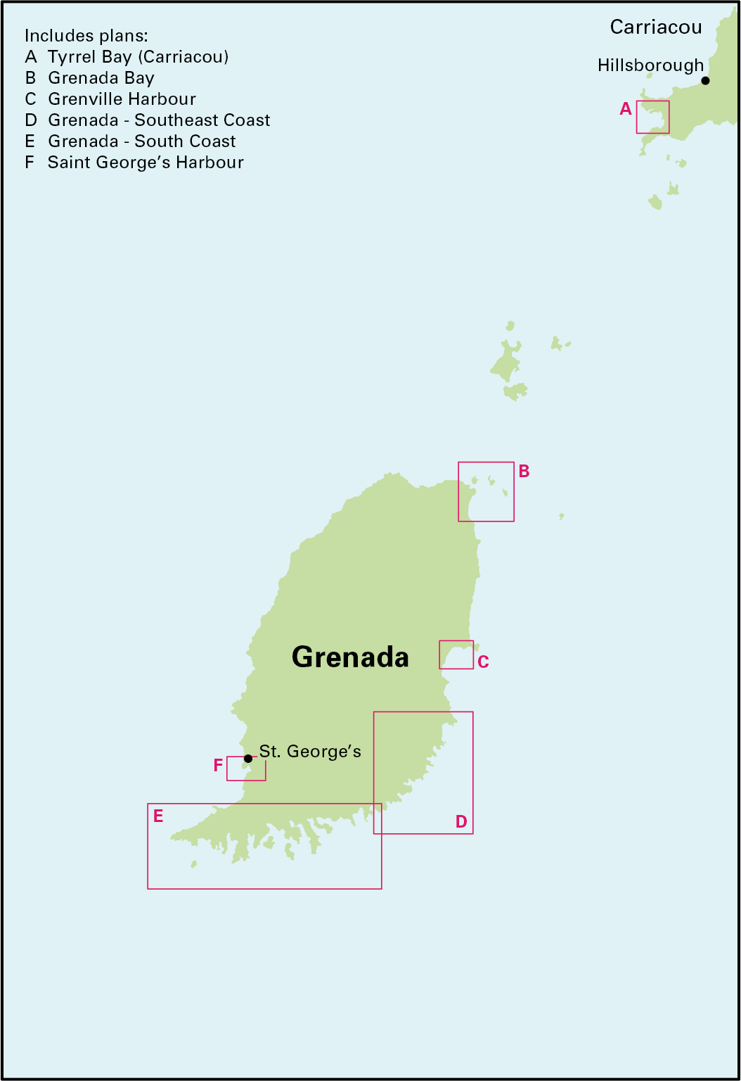
Plans included:
Tyrrel Bay (Carriacou) (1:17 500)
Grenada Bay (1:30 000)
Grenville Harbour (1:15 000)
Grenada - Southeast Coast (1:45 000)
Grenada - South Coast (1:40 000)
Saint George’s Harbour (1:12 500)
On this edition, a new large scale plan of the South East coast of Grenada is included covering Great Bacolet Point to Marquis Point. New ranges and recommended courses are included and existing ones have been updated. The chart specification has been improved to show coloured light flashes. There has been general updating throughout.
Water-Resistant Folded – This chart is Water-Resistant, folded, and in a plastic wallet or flat. Sheet size 640 x 900mm.
Water-Resistant Rolled – This is a water-resistant print on demand (POD) chart that is printed up to date and is ideal for framing.
Purchased for a sailing charter around Grenada. The quality was very high and the protective vinyl cover was a nice touch.
Purchased for a sailing charter around Grenada. The quality was very high and the protective vinyl cover was a nice touch.

+1 954-522-3321
sales@amnautical.com
American Nautical Services, Inc.
3311 S Andrews Ave, Suite 11
Fort Lauderdale, FL 33316
United States of America
Notify me when available
We will send you a notification as soon as this product is available again.
We don't share your email with anybody


