- Home
- Products
- E-Navigation
- Services
-
Resources & Information
- IMO Publication Carriage Requirements On Board Vessels
- U.S. Carriage Requirements for Nautical Charts & Publications on Board Ships
- List of Flag States Requiring Carriage Of Publications
- Rescue Net Information & Solutions
- Jane's Fighting Ships
- The Mariner's Blog
- Maritime Resource Directory
- Instructional Videos
- Downloads
- About
- Contact

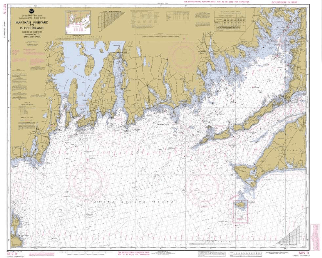
Collection: NOAA Nautical Training Charts
National Oceanic and Atmospheric Administration (NOAA) training charts are used for maritime training and educational purposes, especially in Coast Guard examinations. Many boating and sailing organizations utilize special standardized versions of select NOAA charts for instructional purposes. NOAA nautical training charts is a vital aid and useful reference for all sailors as it defines and provides a list of all symbols used on nautical charts produced by NOAA and NGA. The newest edition of US Chart No. 1, Nautical Chart Symbols, Abbreviations, and Terms, are also available.
Nautical charts show the configuration of the shoreline and seafloor. It offers water depths, anchorages, characteristics of aids to navigation, and locations of dangers to navigations. Mariners use charts to navigate ships safely and plan voyages. American Nautical Services supplies nautical charts and other maritime publications to the Federal Government. ANS offers training for captains both of small boats and commercial vessels. We utilize up-to-date training nautical charts for successful navigation.