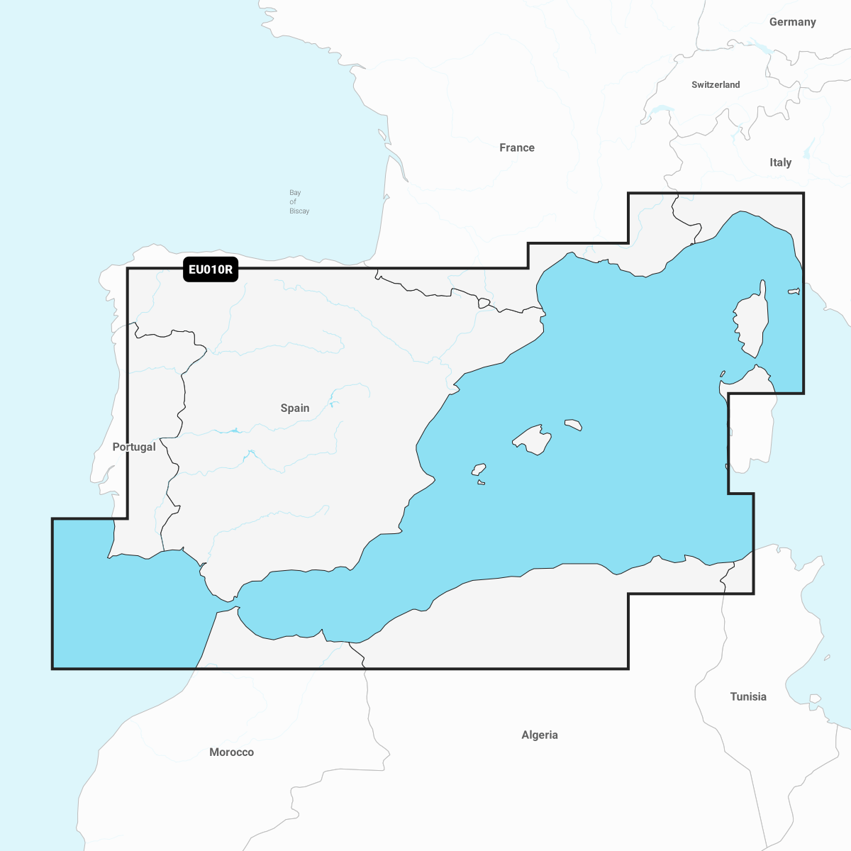
Collection: Navionics+ Navigational Charts: Mediterranean
With accurate navigation charts, advanced features, and real-time updates, Navionics+ ensures you can explore waterways confidently.
Navionics+ provides detailed charts for rivers, lakes, and coastal areas, with extensive coverage worldwide. With its user-friendly interface and intuitive features, you can plan routes, track your journey, and navigate with ease. You'll also have access to valuable information such as depth contours, marina data, and points of interest.
Stay up-to-date with the latest changes with Navionics+ as it offers continuous updates and improvements. Ensure you have the most accurate and reliable navigation data for your boating experiences.
Enhance your boating adventures with Navionics+. Order now and unlock a world of precise navigation.