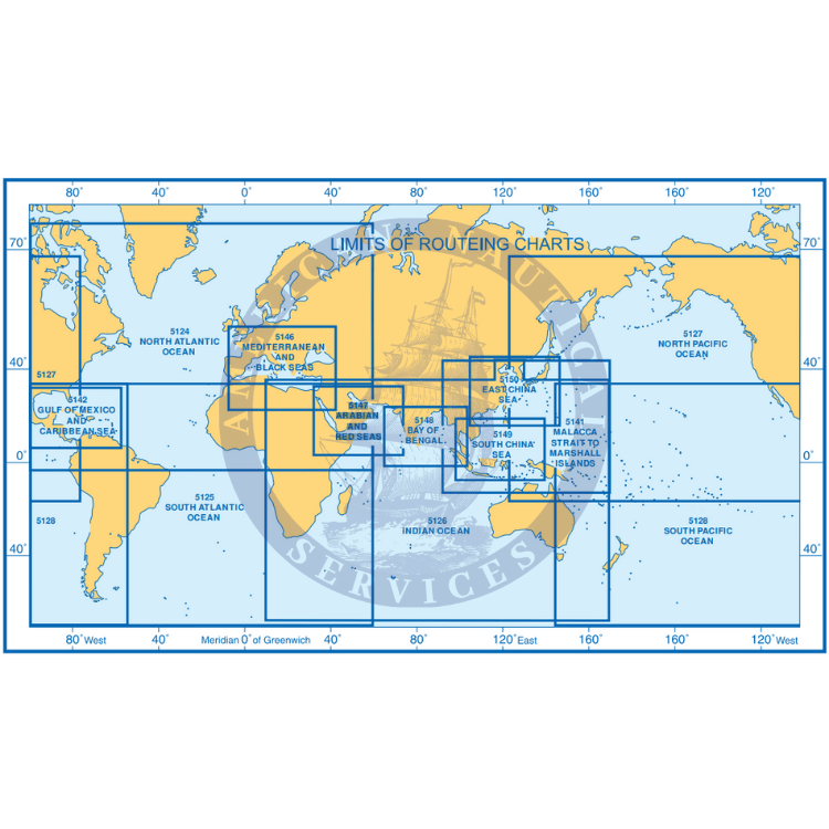
Collection: Admiralty Routeing Charts for Mediterranean and Black Seas
Essential for use in passage planning for ocean voyages, Routeing Charts include routes and distances between major ports, ocean currents, ice limits, load lines and wind roses. They also contain expected meteorological and oceanographic conditions for each month of the year.