Collection: NOAA Paper Charts - Pacific Coast
Explore the vast beauty and treacherous waters of the Pacific Coast with our collection of NOAA Nautical Paper Charts. Fully up to date with the latest corrections and notice to mariners, these charts are essential for safe and successful navigation. From the rugged cliffs of Cape Blanco to the bustling ports of San Francisco and beyond, our collection provides detailed and accurate information to guide you on your maritime adventures. Whether you're a seasoned sailor or a novice captain, these charts offer crucial insights to enhance your journey. Don't navigate the Pacific Coast without the invaluable knowledge our NOAA Paper Charts provide. Purchase your charts today and set sail with confidence.
-
-
-
-
-
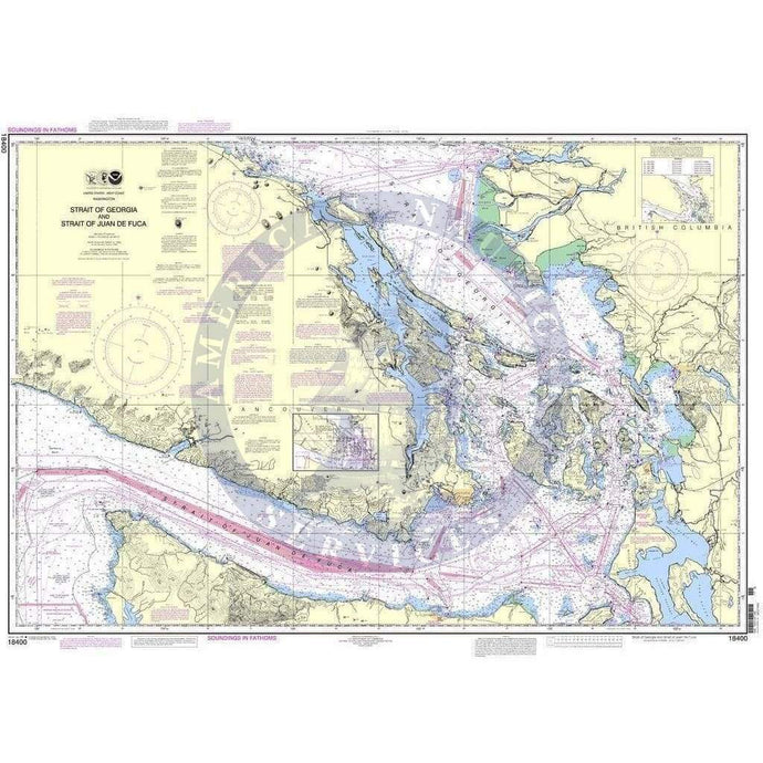
- NOAA Nautical Chart 18400: Strait of Georgia and Strait of Juan de Fuca
- Regular price
- $28.95
- Sale price
- $24.95


- Page 1 of 35
- Next page