Collection: NOAA Paper Charts - Great Lakes
This collection is of the NOAA Nautical Paper Charts of the Great Lakes are printed on demand (POD) and are fully up to date with the latest notice to mariners (NTM) and corrections!
- NOAA Nautical Chart 14806: Thirtymile Point, N.Y., to Port Dalhousie, Ont.

- Regular price
- $27.00
- Sale price
- $24.95
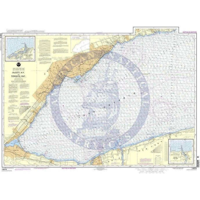
- NOAA Nautical Chart 14810: Olcott Harbor to Toronto; Olcott and Wilson Harbors
- Regular price
- $27.00
- Sale price
- $24.95
- NOAA Nautical Chart 14811: Chaumont, Henderson and Black River Bays;Sackets Harb

- Regular price
- $27.00
- Sale price
- $24.95
-
-
- NOAA Nautical Chart 14815: Rochester Harbor, including Genessee River to head of navigation

- Regular price
- $27.00
- Sale price
- $24.95


- Previous page
- Page 4 of 4