Collection: NOAA Paper Charts - Great Lakes
This collection is of the NOAA Nautical Paper Charts of the Great Lakes are printed on demand (POD) and are fully up to date with the latest notice to mariners (NTM) and corrections!
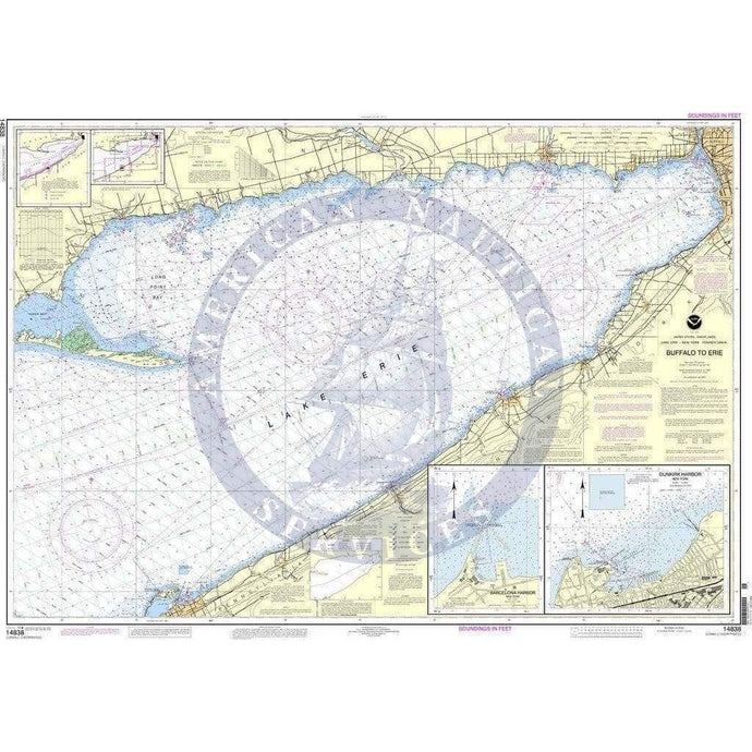
- NOAA Nautical Chart 14838: Buffalo to Erie;Dunkirk;Barcelone Harbor
- Regular price
- $27.00
- Sale price
- $24.95
- NOAA Nautical Chart 14842: Port Clinton to Sandusky, including the Islands (Smal

- Regular price
- $27.00
- Sale price
- $24.95
-
- NOAA Nautical Chart 14852: St. Clair River;Head of St. Clair River

- Regular price
- $27.00
- Sale price
- $24.95
- NOAA Nautical Chart 14853: Detoit River, Lake St. Clair and St. Clair River (Small-Craft Book Chart)

- Regular price
- $27.00
- Sale price
- $24.95
-


- Previous page
- Page 2 of 4
- Next page