Collection: NOAA Paper Charts - Alaska Coast
Embark on a voyage through the rugged beauty of the Alaska Coast with our NOAA Paper Charts collection. Fully up to date with the latest corrections, these charts are essential companions for any mariner navigating these treacherous waters. From the icy Artic Coast to the remote Aleutian Islands, each chart is a work of precision and accuracy. Explore the stunning landscapes and intricate waterways of Alaska with confidence, knowing that these charts will guide you safely on your journey. Whether you're a seasoned sailor or a coastal explorer, these charts are your key to unlocking the mysteries of the Alaska Coast. Purchase your chart today and set sail on your next great adventure!
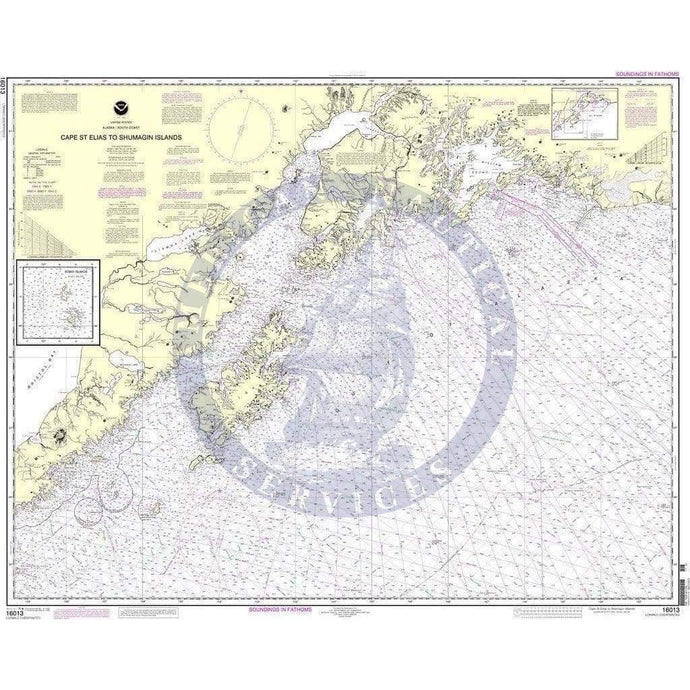
- NOAA Nautical Chart 16013: Cape St. Elias to Shumagin Islands;Semidi Islands
- Regular price
- $32.95
- Sale price
- $27.95
-
-
-
- NOAA Nautical Chart 16043: Barter Island and approaches;Bernard Harbor

- Regular price
- $32.95
- Sale price
- $27.95
-


- Previous page
- Page 2 of 40
- Next page