Collection: NOAA Coastal Charts
Explore the vast expanse of the NOAA Coastal Charts collection, where the beauty of the maritime world meets precision navigation. With charts spanning from Havana to Tampa Bay, Cape St. George to Mississippi Passes, and beyond, these meticulously crafted nautical charts provide vital information for sailors, boaters, and marine enthusiasts alike. Navigate confidently through the waters with detailed layouts of key waterways, approaches, and coastlines, ensuring a safe and enjoyable journey every time. Unleash your spirit of adventure and discover the wonders of the sea with the NOAA Coastal Charts collection. Purchase your essential chart today and set sail towards endless possibilities.
- NOAA Nautical Chart 16568: Wide Bay to Cape Kumlik, Alaska Pen.

- Regular price
- $32.95
- Sale price
- $27.95
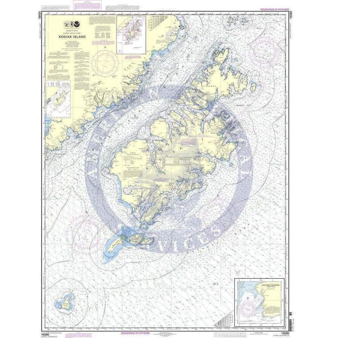
- NOAA Nautical Chart 16580: Kodiak Island;Southwest Anchorage, Chirikof Island
- Regular price
- $32.95
- Sale price
- $27.95
-
-
- NOAA Nautical Chart 16647: Cook Inlet-Cape Elizabeth to Anchor Point

- Regular price
- $32.95
- Sale price
- $27.95
-


- Previous page
- Page 6 of 13
- Next page