Collection: NOAA Approach Charts
Explore NOAA Approach Charts collection, your navigation companion for smooth sailing. From the southern part of Laguna Madre to Baffin Bay, each chart offers detailed insights for safe and efficient maritime travel. Navigating through intricate waterways like Intracoastal Waterway and Corpus Christi Bay has never been easier. With accurate depictions of key points like Aransas Pass and Stover Point, you can confidently navigate any waters. Let these reliable charts guide you on your next adventure, whether for leisure or professional purposes. Upgrade your maritime experience with NOAA Approach Charts and sail with confidence.
-
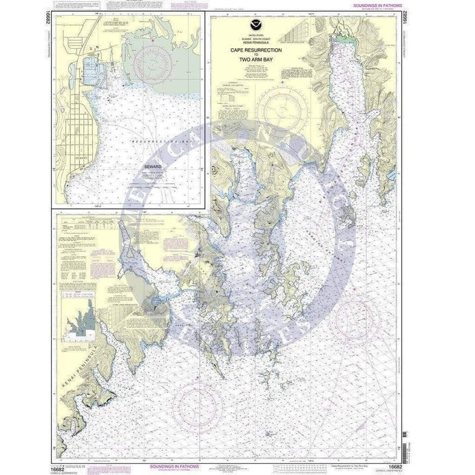
- NOAA Nautical Chart 16682: Cape Resurrection to Two Arm Bay;Seaward
- Regular price
- $32.95
- Sale price
- $27.95
- NOAA Nautical Chart 16683: Point Elrington to Cape Resurrection

- Regular price
- $32.95
- Sale price
- $27.95
- NOAA Nautical Chart 16701: Prince William Sound-western entrance

- Regular price
- $32.95
- Sale price
- $27.95
-
-


- Previous page
- Page 52 of 75
- Next page