Collection: NGA Nautical Charts
Explore the vast expanse of the world's oceans with our NGA Nautical Charts collection. Crafted by the National Geospatial Intelligence Agency and utilizing cutting-edge print on demand technology, these charts offer unparalleled accuracy and detail for maritime navigation. From the North Atlantic to the West Indies and beyond, each chart provides essential information for safe and efficient travel on the open seas. Whether you're a seasoned sailor or a maritime enthusiast, our collection of NGA nautical charts is your gateway to discovering the wonders of the world's oceans. Set sail on your next adventure with confidence and precision - start exploring our collection today!
-
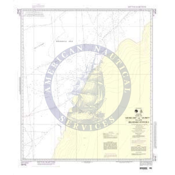
- NGA Nautical Chart 29742: Vahsel Bay and Vicinity including Belgrano Sy=tation II
- Regular price
- $27.00
- Sale price
- $20.75
-
-
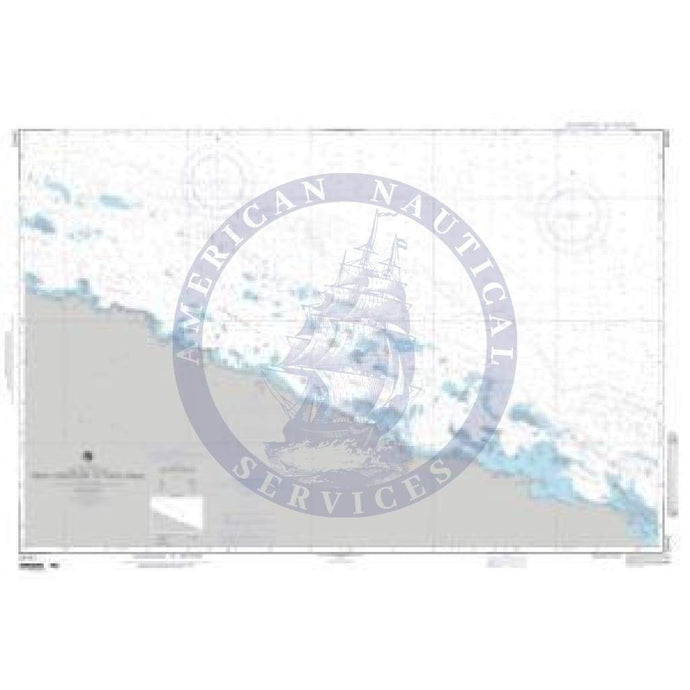
- NGA Nautical Chart 26042: Bahia Concepcion to Punta Brava (North Coast of Panama)
- Regular price
- $27.00
- Sale price
- $24.95
-


- Previous page
- Page 54 of 107
- Next page