Collection: National Oceanic and Atmospheric Administration
Explore the vast expanse of maritime knowledge with our National Oceanic and Atmospheric Administration collection. From detailed U.S. Coast Pilots to essential Hurricane Tracking Charts, this collection provides a comprehensive array of nautical resources for sailors, navigators, and marine enthusiasts. Discover NOAA's extensive catalog of charts covering the Atlantic, Pacific, Gulf Coast, Great Lakes, and Alaska regions. Stay informed and prepared with the latest editions and updates to ensure safe and successful voyages. Invest in the best tools for maritime navigation and exploration with NOAA's trusted and reliable products. Dive into the world of marine navigation today!
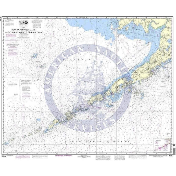
- NOAA Nautical Chart 16011: Alaska Peninsula and Aleutian Islands to Seguam Pass
- Regular price
- $29.95
- Sale price
- $24.95
-
-
- NOAA Nautical Chart 14822: Approaches to Niagara River and Welland Canal

- Regular price
- $29.95
- Sale price
- $24.95
-
-


- Previous page
- Page 46 of 173
- Next page