Collection: National Geospatial-Intelligence Agency
Explore our collection of top-tier navigational publications from the National Geospatial-Intelligence Agency. Discover essential tools like Sailing Directions, Pilot Atlas, and Sight Reduction Tables for precise air and marine navigation. Stay on course with time-tested resources such as the American Practical Navigator - Bowditch Volume and International Code of Signals. Whether you're sailing the Caribbean Sea or charting the North Pacific Ocean, our collection has everything you need for safe and accurate voyages. Get your hands on the latest editions and charts to ensure a smooth journey ahead. Trust in the expertise of the NGA and elevate your navigational skills today.
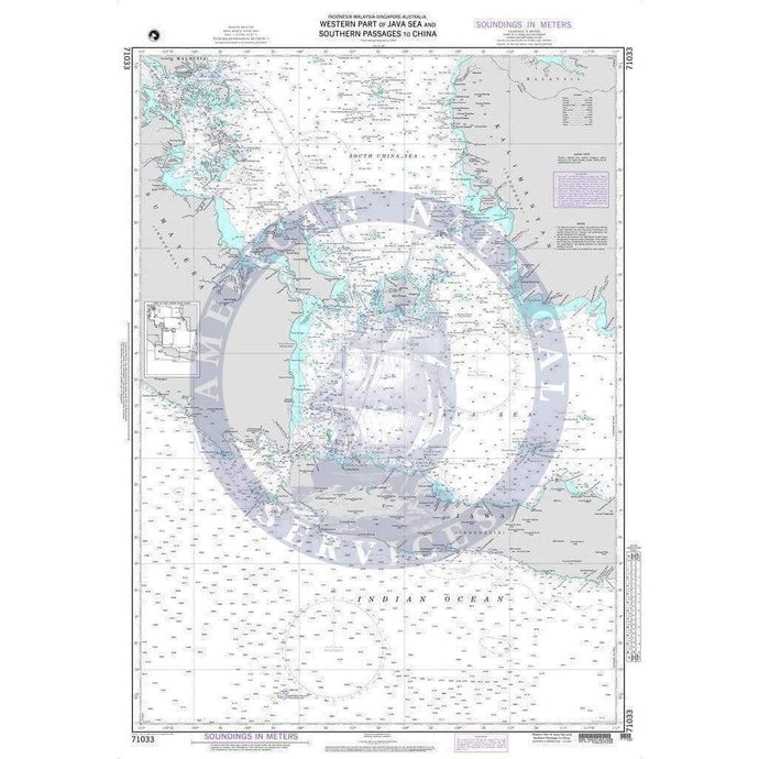
- NGA Nautical Chart 71033: Western Part of Java Sea and Southern Passages to China
- Regular price
- $27.00
- Sale price
- $20.75
- NGA Nautical Chart 63000: Karachi to Bombay, India and Pakistan (OMEGA)

- Regular price
- $27.00
- Sale price
- $24.95
- NGA Nautical Chart 61400: Mozambique Channel-Northern Reaches

- Regular price
- $27.00
- Sale price
- $24.95
- NGA Nautical Chart 61300: Madagascar-North Coast and Seychelles

- Regular price
- $27.00
- Sale price
- $24.95
-
-


- Previous page
- Page 45 of 120
- Next page