Collection: C-Map Max Charts
If you pick out C-Map MAX charts, you get everything that comes with MAX-N plus two new features. MAX-N vector charts receive an upgrade in that they depict tides and currents, which is highly useful in planning a sailing excursion. The second new feature is the inclusion of aerial photos, which enhances the amount of detail your charts provide. Additionally, being able to cross-reference a feature on a map with a photographic image is a convenient, reliable way to verify that you're on course.
These two features aside, MAX charts are essentially the same as MAX-N. On the other hand, MAX-N+ represents a leap in features and functionality.
-
-
-
-
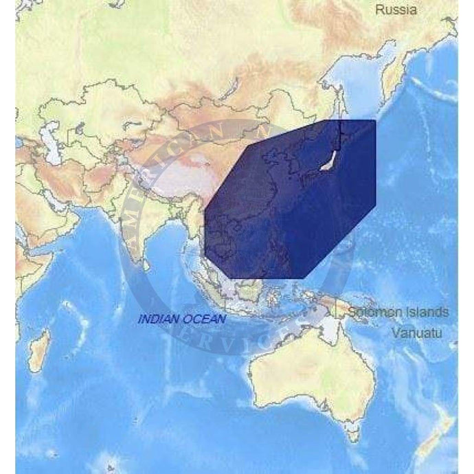
- C-Map Max Chart AS-M001: Vietnam,China,Taiwan,Phil.,Kr,Japan
- Regular price
- $319.00
- Sale price
- $319.00
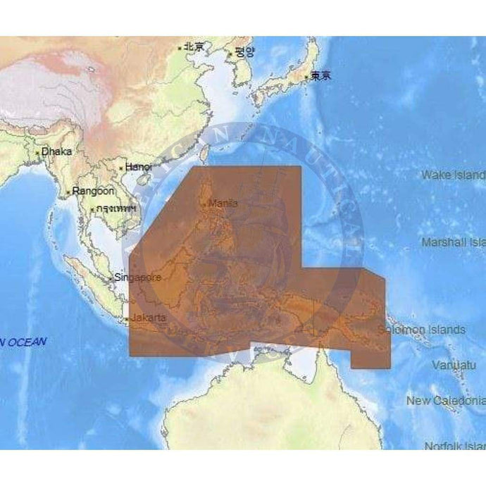
- C-Map Max Chart AS-M205: Philippines,Papua New Guinea,e Indonesia
- Regular price
- $232.00
- Sale price
- $232.00


- Previous page
- Page 4 of 62
- Next page