Collection: British Admiralty Nautical Charts
British Admiralty nautical charts are the nautical chart standard, worldwide, for every sea going vessel. British Admiralty Charts are produced by the United Kingdom Hydrographic Office (UKHO) and conform to U. S. and international carriage requirements for commercial vessels defined in the International Convention for Safety of Life at Sea (SOLAS) Chapter V Regulation 19.2.1.2350. They are corrected and updated with information up to the most recent notice to mariners at the point of sale by our trained cartographers. British Admiralty nautical charts are also U.S. Coast Guard approved.
These nautical charts are useful and in many instances, required, for commercial and recreational use. It is advised that mariners always use the largest scale nautical chart that is appropriate for their needs, particularly in heavily trafficked areas, such as the Singapore and Malacca Straits, the English Channel and the Gulf of Suez. Routing guide Supplements to standard nautical charts are provided to aid mariners in route planning in these challenging areas.
The UKHO provides nautical charts, publications and other nautical services for the Royal Navy and merchant shipping industries, to aid in the protection of life at sea. The UKHO has roots dating back to late 18th century. The office has been a central figure in surveying and the production of nautical charts, tide tables, route planning and many other functions since its inception.
The SOLAS Convention's first incarnation was passed in 1914, as a response to the sinking of the HMS Titanic. In 1960, the SOLAS convention was adopted by the International Maritime Organization (IMO) and brought into force in 1965. Significant amendments were brought into force in 1974 and 1988. The SOLAS Convention has 159 member states around the globe. It requires that ships belonging to these flag states comply with minimum basic safety standards in equipment, construction and operation. These requirements are documented in 12 chapters of articles. Chapter V is commonly referred to and contains provisions that all vessels, ranging from small pleasure and recreational craft to large commercial fleets, which make international voyages, must adhere to. Many flag states have incorporated SOLAS Convention requirement into local law, so that legal action may result against those who contravene them.
- British Admiralty Nautical Chart 3183: United States – Gulf of Mexico, Texas, Approaches to Galveston Bay

- Regular price
- $67.95
- Sale price
- $67.95
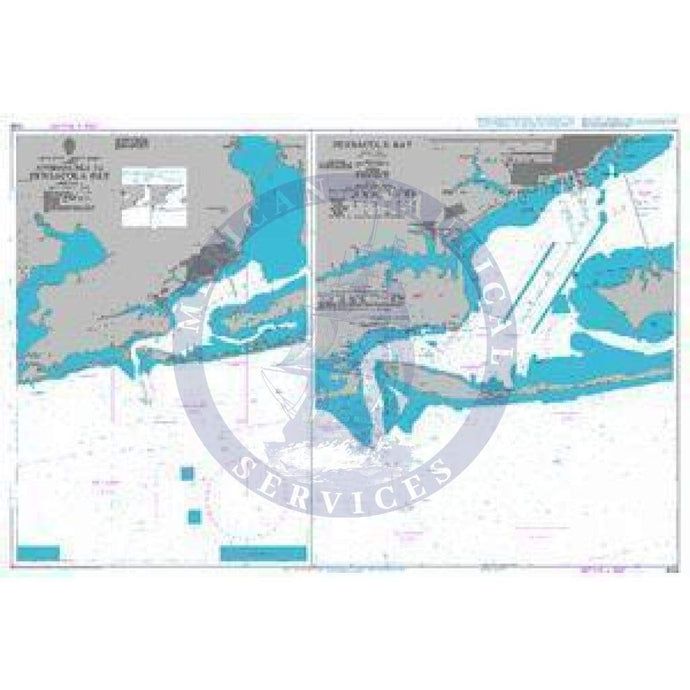
- British Admiralty Nautical Chart 3149: Approaches to Pensacola Bay (Replaced by Charts 3851)
- Regular price
- $43.95
- Sale price
- $43.95
- British Admiralty Nautical Chart 3148: United States - Gulf of Mexico, Florida, St Joseph and St Andrew Bays (Replaced by Charts 3852)

- Regular price
- $67.95
- Sale price
- $67.95
- British Admiralty Nautical Chart 2866: Cape Canaveral to Key West including the Western Part of the Bahama Banks

- Regular price
- $67.95
- Sale price
- $67.95
- British Admiralty Nautical Chart 3459: United States - East Coast, New York - New Jersey, New York Lower Bay

- Regular price
- $67.95
- Sale price
- $67.95
- British Admiralty Nautical Chart 3458: New York Raritan Bay to Arthur Kill

- Regular price
- $67.95
- Sale price
- $67.95


- Previous page
- Page 323 of 613
- Next page