Double click image to zoom in
Click image to open expanded view

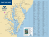
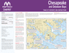

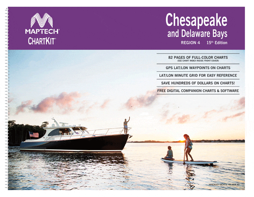
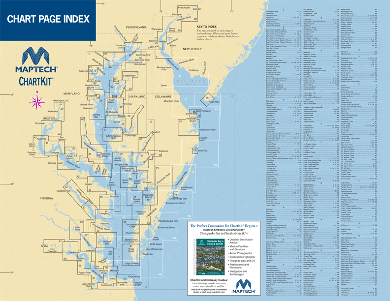
Completely updated. Coastal and offshore coverage. Full-color charts, GPS waypoints, courses and distances, Yeoman points, and color aerial photos. Save hundreds of dollars on charts. Chartbook Companion Software included free with continental ChartKit® books. 22 X 17", 82 chart pages.
A Great Value - You'll save up to 90 percent compared to the cost of purchasing individual paper charts.
The Perfect Size - Large enough to plot routes; small enough to fit on your lap.
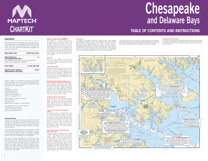
Easy to Use - Pre-plotted waypoints and latitude/longitude grids for your GPS; magnetic courses for your compass.
Fully Referenced - Geographic and alphabetical indexes quickly point you to the right page.
Reliable - A great primary or secondary navigational reference. No batteries required!
This ChartKit® Features
- 22" x 17" spiral-bound charts
- Magnetic courses
- Multiple chart scales
- "Go to" page numbers
- Aerial photos
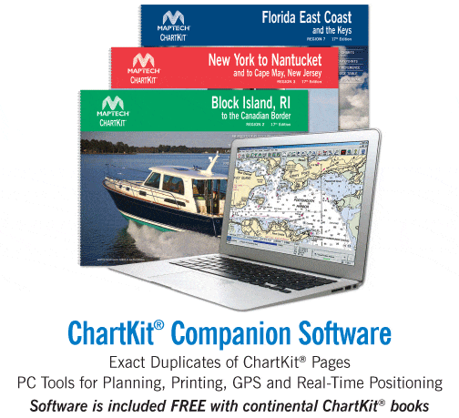
- Companion Software
Check out our Maptech Cruising Bundle for only $149.95!


