- Home
- Products
- E-Navigation
- Services
-
Resources & Information
- IMO Publication Carriage Requirements On Board Vessels
- U.S. Carriage Requirements for Nautical Charts & Publications on Board Ships
- List of Flag States Requiring Carriage Of Publications
- Rescue Net Information & Solutions
- Jane's Fighting Ships
- The Mariner's Blog
- Maritime Resource Directory
- Instructional Videos
- Downloads
- About
- Contact

Double click image to zoom in
Click image to open expanded view
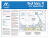
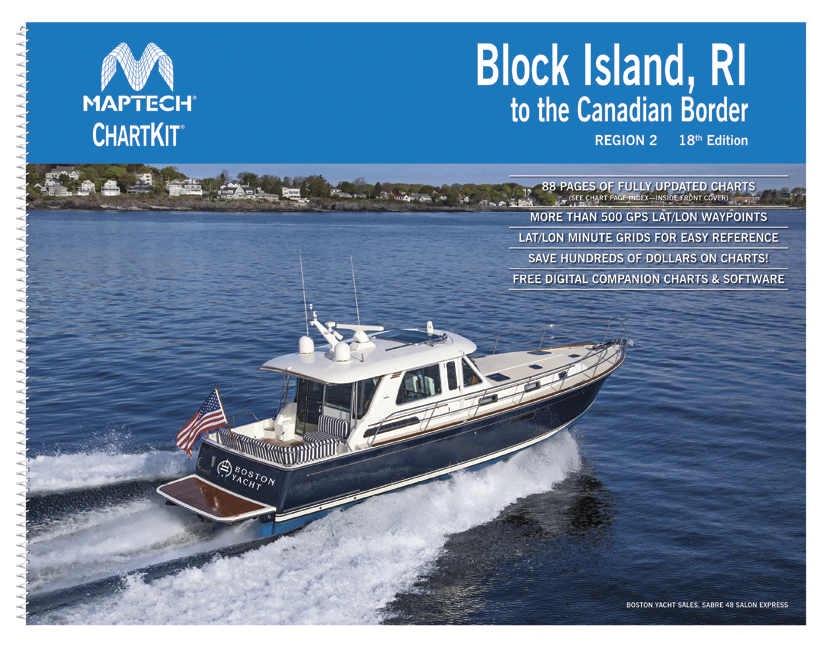
Maptech ChartKit Region 2, 18th Edition - Block Island, R.I. to the Canadian Border.
Maptech ChartKits are full-color reproductions of NOAA charts bundled together in large cruising regions.
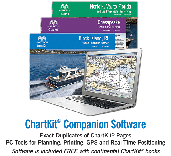
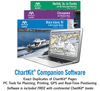
ChartKits® have been a mainstay of boating for generations—more than 1 million ChartKits® have been sold in the past 30 years! Chartbook Companion Software included free with continental ChartKit® books.
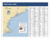
88 Chart Pages
A Great Value - You'll save up to 90 percent compared to the cost of purchasing individual paper charts.
The Perfect Size - Large enough to plot routes; small enough to fit on your lap.
Easy to Use - Pre-plotted waypoints and latitude/longitude grids for your GPS; magnetic courses for your compass.
Fully Referenced - Geographic and alphabetical indexes quickly point you to the right page.
Reliable - A great primary or secondary navigational reference. No batteries required!
This ChartKit® Features
- 22" x 17" spiral-bound charts
- Magnetic courses
- Multiple chart scales
- "Go to" page numbers
- Aerial photos
- Companion Software
Check out our Maptech Cruising Bundle for only $149.95!


