- Home
- Products
- E-Navigation
- Services
-
Resources & Information
- IMO Publication Carriage Requirements On Board Vessels
- U.S. Carriage Requirements for Nautical Charts & Publications on Board Ships
- List of Flag States Requiring Carriage Of Publications
- Rescue Net Information & Solutions
- Jane's Fighting Ships
- The Mariner's Blog
- Maritime Resource Directory
- Instructional Videos
- Downloads
- About
- Contact

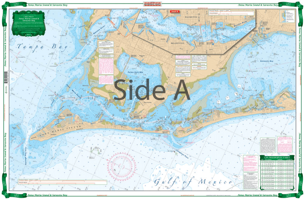
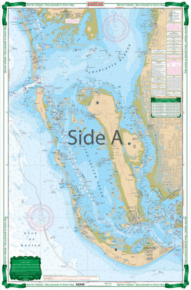
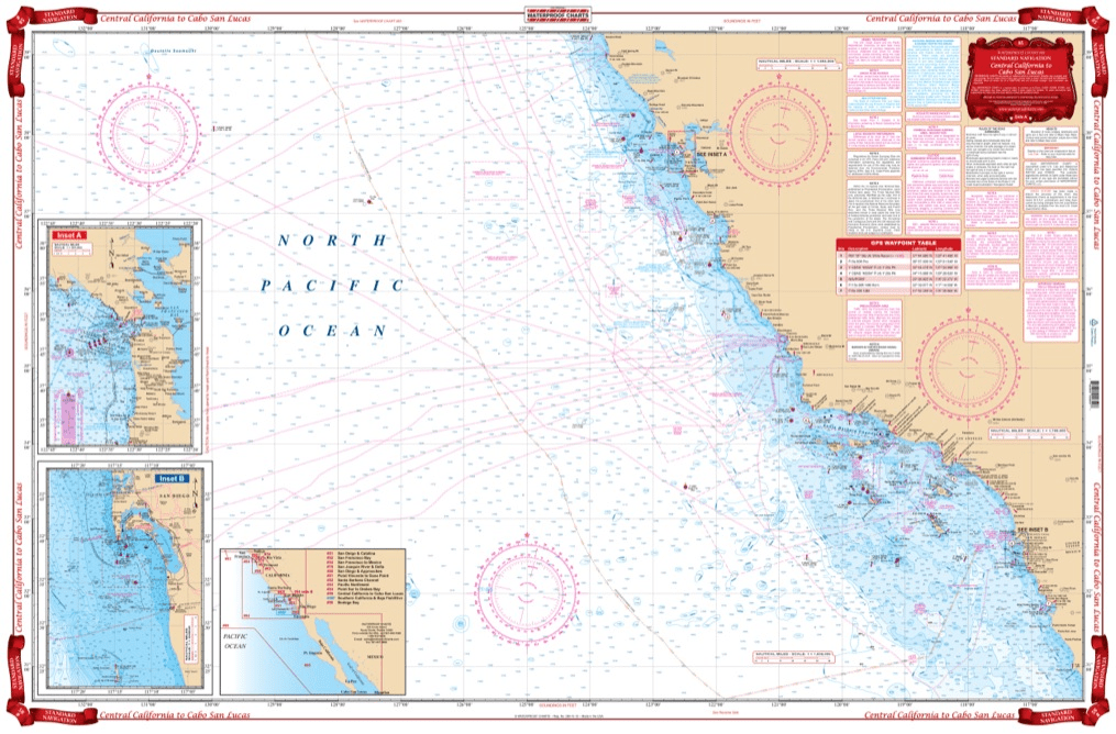
Collection: Waterproof Charts
Our waterproof charts are an excellent tool for recreational sailors to navigate with. Using nautical data from the National Oceanic and Atmospheric Administration (NOAA) and National Geospatial-Intelligence Agency (NGA) these charts cover some of the most popular inlets, waterways, and commonly sailed routes in U.S. waters and in the Caribbean. They can be used a substitute to standard nautical charts for small recreation boats only. These charts are laminated and will be protected from any exposure to water.