- Home
- Products
- E-Navigation
- Services
-
Resources & Information
- IMO Publication Carriage Requirements On Board Vessels
- U.S. Carriage Requirements for Nautical Charts & Publications on Board Ships
- List of Flag States Requiring Carriage Of Publications
- Rescue Net Information & Solutions
- Jane's Fighting Ships
- The Mariner's Blog
- Maritime Resource Directory
- Instructional Videos
- Downloads
- About
- Contact

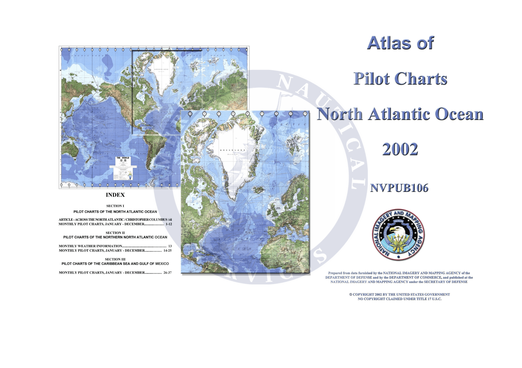
Collection: Atlas of Pilot Charts
The Atlas of Pilot Charts series is a compilation of navigational information covering the world's oceans. Each publication is compiled from the best sources dating back to the 18th century, including surface meteorological and oceanographic observations recorded by some of the best shipmasters in our time.
The Pilot Chart's historic average statistics provide a basis for making an informed judgment of ocean conditions during a voyage. You will find it an invaluable guide in traversing oceans and seas in any part of the world. It is an excellent source of universal, comparative data on winds, temperatures, and wave heights for every ocean region of the world.
This set of five volumes is comprised of twelve pilot charts per atlas and is a distilled collection of years' worth of oceanic and aeronautical observations. These charts show the observed conditions for a particular month in any given year to help navigators select the safest and fastest route throughout the year.